-
- Calf of Mann
-
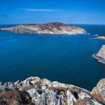
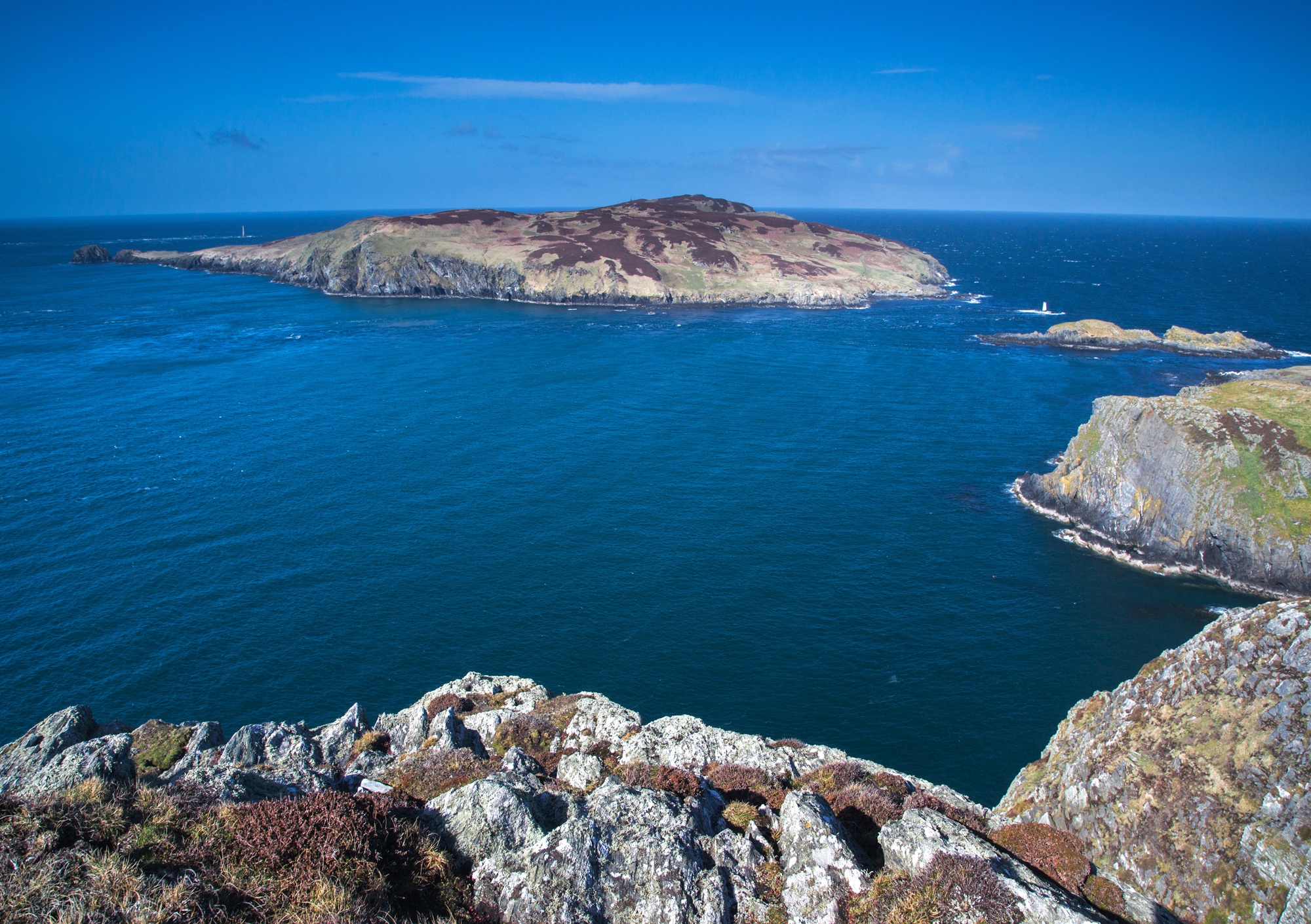
- The Sound and Calf of Mann
-
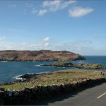
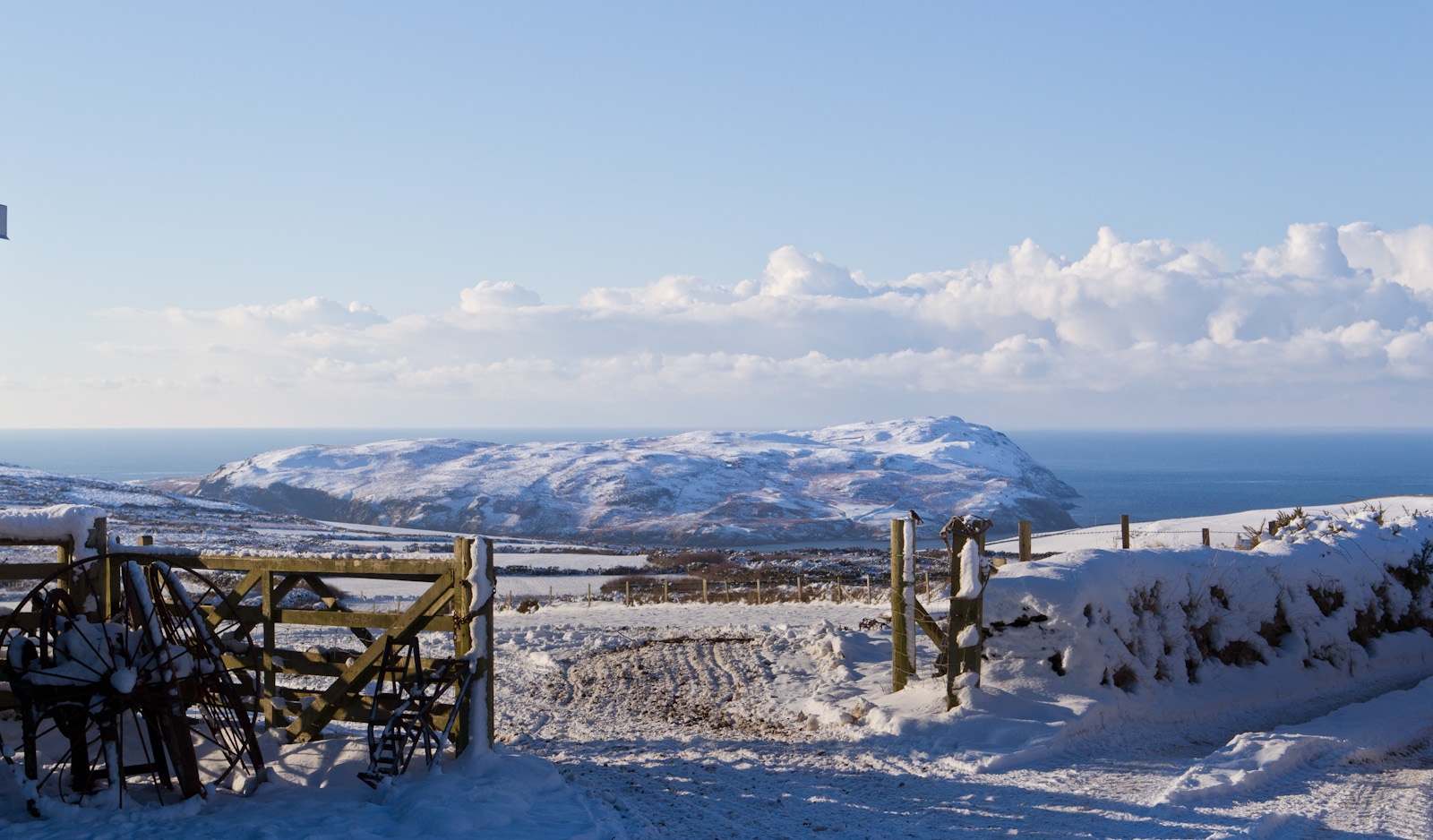
- Calf of Mann in winter
-
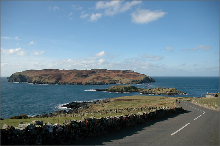
- The Calf of Mann
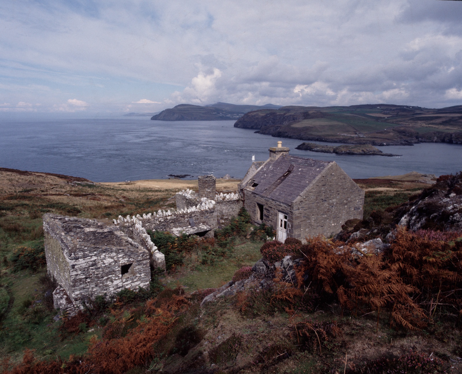
The Calf of Mann, is a 618-acre (250 ha) island (almost 1 square mile), off the southwest coast of the Isle of Man. It is separated from the Isle of Man by a narrow stretch of water called the Calf Sound. Like the nearby rocky islets of Chicken Rock and Kitterland. It is possible to reach the Calf of Man by boat from both Port Erin and Port St Mary. Cow Harbour and South Harbour are the main landing places. The highest part of the island is to the west where an unnamed peak reaches 415 feet (128 metres) above sea level.
The Calf of Man and its offshore rocks have no fewer than four lighthouses: two lighthouses were built in 1818 by Robert Stevenson to warn mariners of the hazards of the Chicken Rocks off the south end of the Calf. These were replaced in 1875 by a lighthouse built on the Chicken Rocks themselves. In 1968, a third lighthouse was built on the Calf after a severe fire destroyed the Chicken Rocks light. The Chicken Rocks lighthouse was later rebuilt. There are two minor, unfenced roads on the island and two very short streams.
Between the Isle of Man and the Calf is the islet of Kitterland, while the islets of Yn Burroo and The Stack lie close to the Calf's shore. The southern shore of the island encloses a small bay called The Puddle. Almost a mile southwest of the Calf is Chicken Rock, the most southerly part of the Isle of Man's territory.
Calf of Man is home to a breeding population of Manx Shearwaters, a seabird which derives its name from its presence in Manx waters. The Calf of Man also has a large colony of seals which live and breed on the rocky coastline.